South Manitou Island
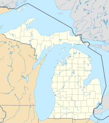
Island in MichiganSouth Manitou Island is located in Lake Michigan, approximately 16 miles (26 km) west of Leland, Michigan. It is part of Leelanau County and the Sleeping Bear Dunes National Lakeshore. The uninhabited island is 8.277 sq mi (21.44 km2) in land area and can be accessed by a ferry service from Leland. Guided tours on open-air vehicles are available to visitors, but most traffic is on foot. Larger North Manitou Island lies to its north.
Read article
Top Questions
AI generatedMore questions
Nearby Places

Three Brothers (ship)
Small wooden Great Lakes lumber freighter

South Manitou Island Lighthouse
Lighthouse in Michigan, United States

SS Francisco Morazan (1922)
German built cargo ship wrecked in Lake Michigan

Hutzler's Barn
United States historic place

George Conrad Hutzler Farm
United States historic place

Walter L. Frost (shipwreck)
History of Walter L. Frost vessel, a Great Lake steamer


